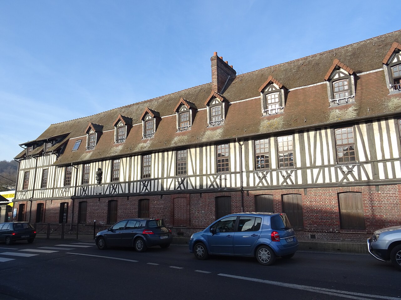
Maromme (French pronunciation:) is a commune in the Seine-Maritime department in the Normandy region in northern France.
Geography
Heraldry

The arms of Maromme are blazoned:
Per bend sinister 1: Gules, a beehive Or issuant from the line of partition(?); 2: Or, 3 chimneys issuant from 4 factory roofs gules; and on a chief vert, 3 bees Or.
Population
| Year | Pop. | ±% p.a. |
|---|---|---|
| 1968 | 10,107 | — |
| 1975 | 11,622 | +2.02% |
| 1982 | 12,431 | +0.97% |
| 1990 | 12,744 | +0.31% |
| 1999 | 12,411 | −0.29% |
| 2007 | 11,819 | −0.61% |
| 2012 | 11,232 | −1.01% |
| 2017 | 10,908 | −0.58% |
| 2023 | 10,957 | +0.07% |
| Source: INSEE | ||
Places of interest
- The church of St.Martin, dating from the nineteenth century.
Sport
The commune has a football team, AL Deville-Maromme, who play at the Stade Paul Vauquelin.
People with links to the commune
- Aimable Pélissier (1794–1864), Marshal of France, was born here
- Georges Chedanne (1861–1940), architect, was born here
- Georges Bradberry (1878–1959), artist, was born here


