factograf
EN
Sign in

Commune in Occitania, France

Terrats

Terrats

Key facts

population806
area7.32km²
instance ofcommune of France
countryFrance
elevation above sea level101m
located in the administrative territorial entitycanton of Thuir
All data from the card 16
Country
France
Region
Occitania
Department
Pyrénées-Orientales
Arrondissement
Céret
Canton
Les Aspres
Intercommunality
Aspres
• Mayor (2020–2026)
Carine Sales
Area1
7.32 km2 (2.83 sq mi)
Elevation
138 m (453 ft)
Highest elevation
230 m (750 ft)
Lowest elevation
101 m (331 ft)
Population (2023)
806
• Density
110/km2 (285/sq mi)
Time zone
UTC+01:00 (CET)
• Summer (DST)
UTC+02:00 (CEST)
INSEE/Postal code
66207 /66300

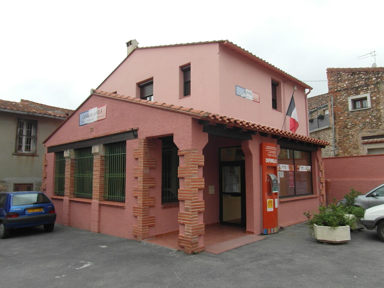
Terrats (French pronunciation:) is a commune in the Pyrénées-Orientales department in southern France.

Geography

Map of Terrats and its surrounding communes

Terrats is located in the canton of Les Aspres and in the arrondissement of Perpignan.

Population

Historical population
YearPop.±% p.a.
1968 363—    
1975 366+0.12%
1982 492+4.32%
1990 520+0.69%
1999 528+0.17%
2007 615+1.92%
2012 668+1.67%
2017 640−0.85%
2023 806+3.92%
Source: INSEE

Read next

In 35 languages

Text from Wikipedia, CC BY-SA 4.0 · Source article