All data from the card 17
- Country
- Syria
- Governorate
- Homs Governorate
- District
- Homs District
- Nahiyah
- Homs
- Settled
- 2000 BCE
- • Governor
- Ghassan Mustafa Abdul-Aal
- • President of City Council
- Nadia Kseibi
- • City
- 48 km2 (19 sq mi)
- • Urban
- 76 km2 (29 sq mi)
- • Métro
- 104 km2 (40 sq mi)
- Élepasi
- 501 m (1,644 ft)
- • City
- 652,609
- • Métro
- 750,501
- Zona wektu
- EET (UTC+3)
- • Usum panas (DST)
- EEST (UTC+2)
- Kodhe laladan
- 31
- Situs wèb
- http://www.homscitycouncil.org.sy
Homs (Arab: حمص / ALA-LC: Ḥimṣ) ya iku sawijining kutha kang manggon ana pérangan tengah Suriah. Padununge ana 700.000 jiwa (2005).
Pranala njaba
- eHoms – Official website for Homs.
- Homs Online – Brief information about the city of Homs.
- Emesa-net Archived 2008-11-18 at the Wayback Machine. (ing basa Arab)
- Executive Branch of Homs Archived 2017-06-13 at the Wayback Machine. (ing basa Arab)
-
Cithakan:Suriah-geo-stub
Text from Wikipedia, CC BY-SA 4.0 · Source article
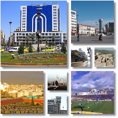
 Al-Dablan Street
 The Old Clock
 Courtyard of Khalid ibn Al-Walid Mosque
 General view


